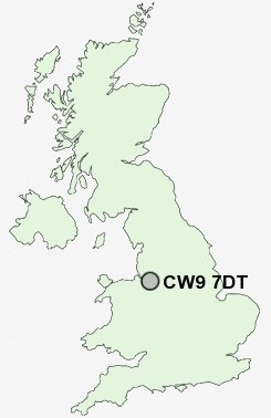
Postcode : CW9 7DT, Rudheath, Cheshire West And Chester, Cheshire
Rudheath, Northwich, Cheshire West and Chester.
CW9 7DT close to Rudheath, Broken Cross, Higher Shurlach, Lostock Green and Leftwich.
Classification
CW9 7DT : Hard-pressed living / Industrious communities / Industrious transitions
Local Authority Cheshire West and Chester
Primary Care Trust Central and Eastern Cheshire
Ward Witton and Rudheath
Constituency Tatton
Region North West
Country England
Postcode Area CW : Crewe
CW9 Postcode Sectors
CW9 6 Anderton, Antrobus, Arley, Arley Green, Bate Heath
CW9 7 Broken Cross, Higher Shurlach, Lach Dennis, Lostock Gralam, Lostock Green
CW9 7 Broken Cross, Higher Shurlach, Lach Dennis, Lostock Gralam, Lostock Green
CW9 7DT Nearby Postcode Districts
CH2 CH3 CW10 CW12 CW4 CW6 CW7 CW8 CW9 L24 SK10 SK11 SK12 SK9 WA16 WA6 WA7
Stations near to CW9 7DT
Northwich Rail Station about 0.71 miles away.Lostock Gralam Rail Station about 1.05 miles away.
CW9 7DT Schools
Rudheath Community High SchoolRudheath Community Primary School
Victoria Road Primary School
Witton Church Walk CofE Primary School
Lostock Gralam CofE Primary School
Leftwich Community Primary School
The County High School Leftwich
Wincham Community Primary School
Kingsmead Primary School
UK Search
Antique Clocks
Browse Antique Clocks for sale from British antique dealers.