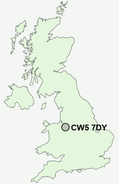
Postcode : CW5 7DY, Nantwich, Cheshire East, Cheshire
Nantwich, Cheshire East.
Classification
CW5 7DY : Suburbanites / Semi-detached suburbia / White suburban communities
Local Authority Cheshire East
Primary Care Trust Central and Eastern Cheshire
Ward Nantwich South and Stapeley
Constituency Crewe and Nantwich
Region North West
Country England
Postcode Area CW : Crewe
CW5 Postcode Sectors
CW5 8 Acton, Aston, Barnett Brook, Brindley, Broomhall
CW5 6 Aston juxta Mondrum, Barbridge, Church Minshull, Rease Heath, The Barony
CW5 6 Aston juxta Mondrum, Barbridge, Church Minshull, Rease Heath, The Barony
CW5 7DY Nearby Postcode Districts
CW1 CW11 CW2 CW3 CW5 ST1 ST2 ST3 ST4 ST5 ST6 ST7 ST8 SY14
Stations near to CW5 7DY
Nantwich Rail Station about 0.52 miles away.CW5 7DY Schools
Brine Leas High SchoolWeaver Primary School
St Anne's Catholic Primary School
Stapeley Broad Lane CofE Primary School
Pear Tree Primary School
Millfields Primary School and Nursery
Wyche Primary School
Highfields Community Primary School
Malbank School and Sixth Form College
Willaston Primary School
UK Search
Antique Clocks
Browse Antique Clocks for sale from British antique dealers.