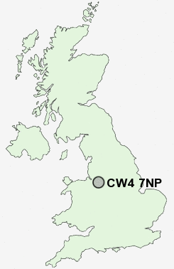
Postcode : CW4 7NP, Holmes Chapel, Cheshire East, Cheshire
Hermitage Drive, Holmes Chapel, Crewe.
CW4 7NP close to Holmes Chapel and Cranage.
Classification
CW4 7NP : Suburbanites / Suburban achievers / Comfortable suburbia
Local Authority Cheshire East
Primary Care Trust Central and Eastern Cheshire
Ward Dane Valley
Constituency Congleton
Region North West
Country England
Postcode Area CW : Crewe
CW4 Postcode Sectors
CW4 7NP Nearby Postcode Districts
CW10 CW11 CW12 CW4 CW6 CW7 CW8 CW9 SK10 SK11 ST8 WA16 WA6
Stations near to CW4 7NP
Holmes Chapel Rail Station about 0.37 miles away.Goostrey Rail Station about 1.67 miles away.
CW4 7NP Schools
Hermitage Primary SchoolHolmes Chapel Primary School
Holmes Chapel Comprehensive School
Goostrey Community Primary School
UK Search
Antique Clocks
Browse Antique Clocks for sale from British antique dealers.