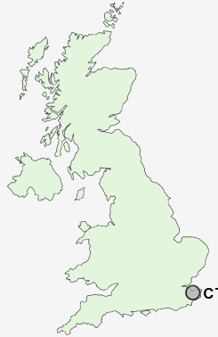
Postcode : CT4 7AS, Nackington, Kent
Canterbury, Kent.
Classification
CT4 7AS : Multicultural metropolitans / Rented family living / Private renting new arrivals
Local Authority Canterbury
Primary Care Trust Eastern and Coastal Kent
Ward Wincheap
Constituency Canterbury
Region South East
Country England
Postcode Area CT : Canterbury
CT4 Postcode Sectors
CT4 7 Anvil Green, Chartham, Chartham Hatch, Crundale, Godmersham
CT4 8 Bagham, Chilham, Dane Street, Great Bower, Molash
CT4 8 Bagham, Chilham, Dane Street, Great Bower, Molash
CT4 6 Barham, Bladbean, Bossingham, Denton, Derringstone
CT4 5 Bekesbourne, Bekesbourne Hill, Bishopsbourne, Bridge, Garlinge Green
CT4 5 Bekesbourne, Bekesbourne Hill, Bishopsbourne, Bridge, Garlinge Green
CT4 7AS Nearby Postcode Districts
CT1 CT11 CT12 CT13 CT14 CT15 CT2 CT3 CT4 CT5 ME10 ME13 ME9 TN27
Stations near to CT4 7AS
Canterbury East Rail Station about 1 miles away.Canterbury West Rail Station about 1.67 miles away.
Sturry Rail Station about 3.21 miles away.
CT4 7AS Schools
Simon Langton Grammar School for BoysWincheap Foundation Primary School
Pilgrims' Way Primary School
Chaucer Technology School
The Canterbury High School
Kingsmead Primary School
UK Search
Antique Clocks
Browse Antique Clocks for sale from British antique dealers.