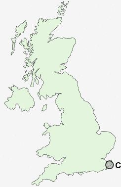
Postcode : CT17 9HJ, Dover, Kent
Saint Davids Avenue, Dover.
CT17 9HJ close to Aycliff, Maxton, Western Heights and Tower Hamlets.
Classification
CT17 9HJ : Hard-pressed living / Challenged terraced workers / Hard pressed rented terraces
Local Authority Dover
Primary Care Trust Eastern and Coastal Kent
Ward Town and Pier
Constituency Dover
Region South East
Country England
Postcode Area CT : Canterbury
CT17 Postcode Sectors
CT17 9HJ Nearby Postcode Districts
CT15 CT16 CT17 CT18 CT19 CT20 CT21 TN25
Stations near to CT17 9HJ
Dover Priory Rail Station about 1.24 miles away.Kearsney Rail Station about 2.68 miles away.
CT17 9HJ Schools
Aycliffe Community Primary SchoolSt Martin's School
Vale View Community School
Astor College for the Arts
Priory Fields School
White Cliffs Primary College for the Arts
Dover Grammar School for Girls
Barton Junior School
Shatterlocks Infant School
UK Search
Antique Clocks
Browse Antique Clocks for sale from British antique dealers.