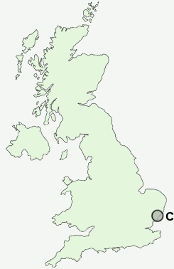
Postcode : CO12 3AG, Harwich, Essex
Kingsway, Harwich.
CO12 3AG close to Dovercourt, Bath Side and Tower Hill.
Classification
CO12 3AG : Constrained city dwellers / Challenged diversity / Hampered aspiration
Local Authority Tendring
Primary Care Trust North East Essex
Ward Harwich East Central
Constituency Harwich and North Essex
Region Eastern
Country England
Postcode Area CO : Colchester
CO12 Postcode Sectors
CO12 3AG Nearby Postcode Districts
CO1 CO11 CO12 CO14 CO2 CO4 CO7 IP10 IP11 IP9
Stations near to CO12 3AG
Dovercourt Rail StationHarwich Town Rail Station about 0.48 miles away.
Harwich International Rail Station about 1.23 miles away.
Trimley Rail Station about 3.11 miles away.
CO12 3AG Schools
Harwich Community Primary School and NurseryThe Mayflower Primary School
St Joseph's Catholic Primary School, Harwich
The Harwich School
Spring Meadow Primary School & School House Nursery
All Saints' Church of England Voluntary Aided Primary School, Dovercourt
Chase Lane Primary School and Nursery
UK Search
Antique Clocks
Browse Antique Clocks for sale from British antique dealers.