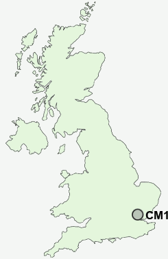
Postcode : CM15 0UG, Brentwood, Essex
Roman Road, Mountnessing, Brentwood.
Classification
CM15 0UG : Suburbanites / Semi-detached suburbia / White suburban communities
Local Authority Brentwood
Primary Care Trust South West Essex
Ward Ingatestone, Fryerning and Mountnessing
Constituency Brentwood and Ongar
Region Eastern
Country England
Postcode Area CM : Chelmsford
CM15 Postcode Sectors
CM15 0UG Nearby Postcode Districts
CM1 CM11 CM12 CM13 CM14 CM15 CM16 CM2 CM3 CM4 CM5 CM9 E10 E11 E17 E18 E4 EN10 EN3 EN8 EN9 IG1 IG10 IG2 IG3 IG4 IG5 IG6 IG7 IG8 IG9 RM1 RM11 RM14 RM2 RM3 RM4 RM5 RM6 RM7 RM8 SS11 SS12 SS13 SS14 SS15 SS16 SS4 SS5 SS6 SS7
Stations near to CM15 0UG
Ingatestone Rail Station about 1.41 miles away.Shenfield Rail Station about 2.06 miles away.
CM15 0UG Schools
Ingatestone and Fryerning Church of England Voluntary Aided Junior SchoolHutton All Saints' Church of England Primary School
Ingatestone Infant School
Long Ridings Primary School
Shenfield High School
St Joseph the Worker Catholic Primary School
Willowbrook Primary School
Anglo European School
UK Search
Antique Clocks
Browse Antique Clocks for sale from British antique dealers.