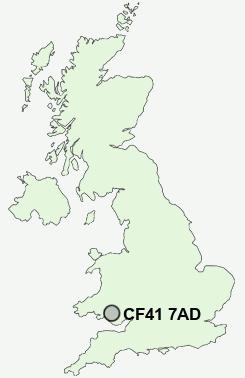
Postcode : CF41 7AD, Rhondda, Rhondda Cynon Taff, Rhondda Cynon Taf
Church Street, Ton Pentre, Pentre.
CF41 7AD close to Ton Pentre, Gelli and Ystrad.
Classification
CF41 7AD : Hard-pressed living / Challenged terraced workers / Deprived blue-collar terraces
Local Authority Rhondda Cynon Taf
Primary Care Trust Cwm Taf University Health Board
Ward Pentre
Constituency Rhondda
Region Wales
Country Wales
Postcode Area CF : Cardiff
CF41 Postcode Sectors
CF41 7AD Nearby Postcode Districts
CF32 CF34 CF37 CF38 CF39 CF40 CF41 CF42 CF43 CF44 CF45 CF46 CF48 CF81 CF82 CF83 NP11 NP12 NP13 NP24 SA10 SA11 SA12 SA13 SA8
Stations near to CF41 7AD
Ton Pentre Rail StationYstrad Rhondda Rail Station about 0.92 miles away.
Treorchy Rail Station about 1.07 miles away.
Llwynypia Rail Station about 1.71 miles away.
Ynyswen Rail Station about 1.92 miles away.
Tonypandy Rail Station about 2.51 miles away.
Treherbert Rail Station about 2.72 miles away.
Dinas (Rhondda) Rail Station about 2.94 miles away.
UK Search
Antique Clocks
Browse Antique Clocks for sale from British antique dealers.