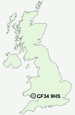
Postcode : CF34 9HS, Maesteg, Bridgend
Mill Street, Maesteg.
CF34 9HS close to Cwmfelin, Garth, Llwydarth, Pont Rhyd-y-cyff and Llangynwyd.
Classification
CF34 9HS : Hard-pressed living / Challenged terraced workers / Deprived blue-collar terraces
Local Authority Bridgend
Primary Care Trust Abertawe Bro Morgannwg University Health Board
Ward Llangynwyd
Constituency Ogmore
Region Wales
Country Wales
Postcode Area CF : Cardiff
CF34 Postcode Sectors
CF34 9HS Nearby Postcode Districts
CF15 CF31 CF32 CF33 CF34 CF35 CF37 CF38 CF39 CF40 CF41 CF42 CF43 CF45 CF46 CF72 SA1 SA10 SA11 SA12 SA13 SA2 SA5 SA6 SA7
Stations near to CF34 9HS
Garth (Bridgend) Rail StationMaesteg (Ewenny Road) Rail Station about 0.66 miles away.
Maesteg Rail Station about 1.06 miles away.
Tondu Rail Station about 3.95 miles away.
UK Search
Antique Clocks
Browse Antique Clocks for sale from British antique dealers.