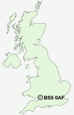
Postcode : BS5 0AF, City Of Bristol, Bath Avon
Bristol, City of Bristol.
BS5 0AF close to Easton, Whitehall, Crew's Hole and St George.
Classification
BS5 0AF : Ethnicity central / Ethnic family life / Established renting families
Local Authority Bristol, City of
Primary Care Trust Bristol
Ward Lawrence Hill
Constituency Bristol West
Region South West
Country England
Postcode Area BS : Bristol
BS5 Postcode Sectors
BS5 0AF Nearby Postcode Districts
BA1 BA2 BS1 BS10 BS11 BS13 BS14 BS15 BS16 BS2 BS20 BS21 BS22 BS3 BS30 BS31 BS32 BS34 BS36 BS37 BS4 BS41 BS48 BS49 BS5 BS6 BS7 BS8 BS9 BS99 GL9 SN13 SN14
Stations near to BS5 0AF
Lawrence Hill Rail StationBristol Temple Meads Rail Station about 0.91 miles away.
Montpelier Rail Station about 1.24 miles away.
Redland Rail Station about 1.63 miles away.
Bedminster Rail Station about 1.74 miles away.
Clifton Down Rail Station about 2.05 miles away.
Parson Street Rail Station about 2.48 miles away.
Filton Abbey Wood Rail Station about 3.26 miles away.
BS5 0AF Schools
The City Academy BristolThe City Academy Bristol
Barton Hill Primary
Hannah More Primary School
Fairfield High School
Cotham School
Bristol Brunel Academy
Redland Green 16-19
UK Search
Antique Clocks
Browse Antique Clocks for sale from British antique dealers.