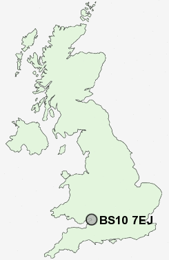
Postcode : BS10 7EJ, Henbury, City Of Bristol, Bristol
Clavell Road, Bristol.
BS10 7EJ close to Henbury, Brentry and Southmead.
Classification
BS10 7EJ : Constrained city dwellers / Challenged diversity / Multi-ethnic hardship
Local Authority Bristol, City of
Primary Care Trust Bristol
Ward Henbury and Brentry
Constituency Bristol North West
Region South West
Country England
Postcode Area BS : Bristol
BS10 Postcode Sectors
BS10 7EJ Nearby Postcode Districts
BS1 BS10 BS11 BS13 BS14 BS15 BS16 BS2 BS20 BS21 BS3 BS30 BS31 BS32 BS34 BS35 BS36 BS37 BS4 BS41 BS48 BS5 BS6 BS7 BS8 BS9 BS99 GL9 NP19 NP20 NP26
Stations near to BS10 7EJ
Sea Mills Rail Station about 2.2 miles away.Redland Rail Station about 2.85 miles away.
Clifton Down Rail Station about 2.97 miles away.
Montpelier Rail Station about 3.04 miles away.
Pilning Rail Station about 3.44 miles away.
BS10 7EJ Schools
Blaise Primary and Nursery SchoolHenbury School
Little Mead Primary School
Badocks Wood Primary School & Children's Centre
Bank Leaze Primary School
Elmlea Junior School
Elmlea Infant School
Henleaze Junior School
UK Search
Antique Clocks
Browse Antique Clocks for sale from British antique dealers.