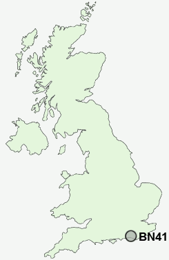
Postcode : BN41 1LG, Fishersgate, Brighton And Hove, West Sussex
Shelldale Crescent, Portslade, Brighton.
BN41 1LG close to Fishersgate, Southern Cross and Portslade Village.
Classification
BN41 1LG : Multicultural metropolitans / Rented family living / Social renting young families
Local Authority Brighton and Hove
Primary Care Trust Brighton and Hove City
Ward South Portslade
Constituency Hove
Region South East
Country England
Postcode Area BN : Brighton
BN41 Postcode Sectors
BN41 1LG Nearby Postcode Districts
BN1 BN10 BN11 BN12 BN13 BN14 BN15 BN16 BN17 BN18 BN2 BN25 BN3 BN41 BN42 BN43 BN44 BN45 BN5 BN6 BN7 BN8 BN9
Stations near to BN41 1LG
Fishersgate Rail StationPortslade Rail Station about 0.58 miles away.
Southwick Rail Station about 0.77 miles away.
Aldrington Rail Station about 1.52 miles away.
Hove Rail Station about 2.09 miles away.
BN41 1LG Schools
Peter Gladwin Primary SchoolGlebe Primary School
Portslade Community College
King's Manor Community College
West Hove Infant School
Goldstone Primary School
Hangleton Primary School
Holmbush First School
Mile Oak Primary School
West Blatchington Primary and Nursery School
Hove Park School and Sixth Form Centre
Blatchington Mill School and Sixth Form College
UK Search
Antique Clocks
Browse Antique Clocks for sale from British antique dealers.