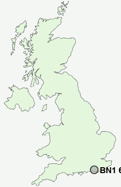
Postcode : BN1 6SF, Arundel, West Sussex
Station Road, Preston, Brighton.
BN1 6SF close to Preston, Withdean, Brighton and Hollingdean.
Classification
BN1 6SF : Urbanites / Urban professionals and families / Multi-ethnic professionals with families
Local Authority Brighton and Hove
Primary Care Trust Brighton and Hove City
Ward Withdean
Constituency Brighton, Pavilion
Region South East
Country England
Postcode Area BN : Brighton
BN1 Postcode Sectors
BN1 6SF Nearby Postcode Districts
BN1 BN10 BN11 BN12 BN13 BN14 BN15 BN16 BN17 BN2 BN25 BN26 BN3 BN41 BN42 BN43 BN44 BN45 BN5 BN6 BN7 BN8 BN9 RH20
Stations near to BN1 6SF
Preston Park Rail StationHove Rail Station about 1.06 miles away.
London Road (Brighton) Rail Station about 1.06 miles away.
Brighton Rail Station about 1.36 miles away.
Aldrington Rail Station about 1.45 miles away.
Moulsecoomb Rail Station about 1.57 miles away.
BN1 6SF Schools
Dorothy Stringer SchoolVarndean School
Patcham Infant School
Brunswick Primary School
Hove Park School and Sixth Form Centre
Blatchington Mill School and Sixth Form College
Patcham High School
Patcham Junior School
Fairlight Primary School
Elm Grove Primary School
UK Search
Antique Clocks
Browse Antique Clocks for sale from British antique dealers.