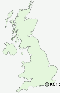
Postcode : BN1 3XP, Arundel, West Sussex
Brighton, The City of Brighton and Hove.
BN1 3XP close to Preston, Brighton and Hollingdean.
Classification
BN1 3XP : Cosmopolitans / Students around campus / Student communal living
Local Authority Brighton and Hove
Primary Care Trust Brighton and Hove City
Ward St. Peter's and North Laine
Constituency Brighton, Pavilion
Region South East
Country England
Postcode Area BN : Brighton
BN1 Postcode Sectors
BN1 3XP Nearby Postcode Districts
BN1 BN10 BN11 BN12 BN13 BN14 BN15 BN16 BN17 BN2 BN20 BN25 BN26 BN3 BN41 BN42 BN43 BN44 BN45 BN5 BN6 BN7 BN8 BN9
Stations near to BN1 3XP
Brighton Rail StationLondon Road (Brighton) Rail Station about 0.54 miles away.
Preston Park Rail Station about 1.29 miles away.
Hove Rail Station about 1.34 miles away.
Moulsecoomb Rail Station about 1.55 miles away.
Aldrington Rail Station about 1.91 miles away.
BN1 3XP Schools
Brunswick Primary SchoolFairlight Primary School
Queen's Park Primary School
Elm Grove Primary School
St Luke's Primary School
Dorothy Stringer School
Varndean School
Hove Park School and Sixth Form Centre
UK Search
Antique Clocks
Browse Antique Clocks for sale from British antique dealers.