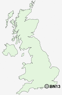
Postcode : BN13 2JD, West Sussex
Salvington Road, Worthing.
BN13 2JD close to Cote, Durrington, High Salvington and Durrington-on-Sea Sta.
Classification
BN13 2JD : Hard-pressed living / Industrious communities / Industrious transitions
Local Authority Worthing
Primary Care Trust West Sussex
Ward Salvington
Constituency Worthing West
Region South East
Country England
Postcode Area BN : Brighton
BN13 Postcode Sectors
BN13 2JD Nearby Postcode Districts
BN1 BN11 BN12 BN13 BN14 BN15 BN16 BN17 BN18 BN2 BN3 BN41 BN42 BN43 BN44 BN45 BN5 BN6 PO19 PO20 PO21 PO22
Stations near to BN13 2JD
Durrington-on-Sea Rail Station about 1.25 miles away.West Worthing Rail Station about 1.3 miles away.
Goring-by-Sea Rail Station about 1.7 miles away.
Worthing Rail Station about 1.74 miles away.
BN13 2JD Schools
Durrington Junior SchoolDurrington Infant School
Durrington High School
Thomas A Becket Infant School
Hawthorns Primary School, Durrington
Thomas A Becket Junior School
Vale School, Worthing
Laurels First School, Worthing,The
Field Place Infant School
The Orchards Community Middle School
Elm Grove Primary School, Worthing
UK Search
Antique Clocks
Browse Antique Clocks for sale from British antique dealers.