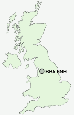
Postcode : BB5 6NH, Church, Lancashire
Yorkshire Street, Huncoat, Accrington.
BB5 6NH close to Oswaldtwistle, Huncoat and Hillock Vale.
Classification
BB5 6NH : Hard-pressed living / Challenged terraced workers / Deprived blue-collar terraces
Local Authority Hyndburn
Primary Care Trust East Lancashire Teaching
Ward Huncoat
Constituency Hyndburn
Region North West
Country England
Postcode Area BB : Blackburn
BB5 Postcode Sectors
BB5 0 Accrington, Scaitcliffe, Spring Hill
BB5 5 Altham, Clayton-Le-Moors, Oakenshaw
BB5 2 Baxenden, Rising Bridge, Sherfin, Woodnook
BB5 5 Altham, Clayton-Le-Moors, Oakenshaw
BB5 2 Baxenden, Rising Bridge, Sherfin, Woodnook
BB5 3 Broadfield, Green Haworth, Little Moor End, Oswaldtwistle
BB5 4 Church, Dill Hall, Milnshaw, Stanhill, West End
BB5 6 Hillock Vale, Huncoat
BB5 4 Church, Dill Hall, Milnshaw, Stanhill, West End
BB5 6 Hillock Vale, Huncoat
BB5 6NH Nearby Postcode Districts
BB1 BB10 BB11 BB12 BB2 BB3 BB4 BB5 BB6 BB8 BB9 BD22 HX7 OL13 OL14 PR1 PR2 PR25 PR26 PR3 PR5
Stations near to BB5 6NH
Huncoat Rail StationHapton Rail Station about 1.39 miles away.
Accrington Rail Station about 1.6 miles away.
Church & Oswaldtwistle Rail Station about 2.34 miles away.
BB5 6NH Schools
Accrington Huncoat Primary SchoolAccrington Peel Park Primary School
Accrington Moorhead Sports College
Clayton-le-Moors Mount Pleasant Primary School
Accrington St Christopher's Church of England High School
Heathland Private School
Accrington Hyndburn Park Primary School
Accrington Woodnook Primary School
UK Search
Antique Clocks
Browse Antique Clocks for sale from British antique dealers.