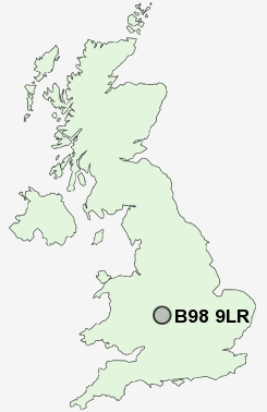
Postcode : B98 9LR, Church Hill, Worcestershire
Redditch, Worcestershire.
B98 9LR close to Church Hill, Beoley, Moon's Moat, Holt End and Winyates.
Classification
B98 9LR : Constrained city dwellers / Challenged diversity / Multi-ethnic hardship
Local Authority Redditch
Primary Care Trust Worcestershire
Ward Church Hill
Constituency Redditch
Region West Midlands
Country England
Postcode Area B : Birmingham
B98 Postcode Sectors
B98 9 Baylis Green, Beoley, Branson's Cross, Carpenter's Hill, Church Hill
B98 7 Greenlands, Lodge Park, Woodrow
B98 7 Greenlands, Lodge Park, Woodrow
B98 0 Ipsley, Matchborough, Washford, Winyates, Winyates Green
B98 8 Lakeside, Redditch, Riverside, Smallwood
B98 8 Lakeside, Redditch, Riverside, Smallwood
B98 9LR Nearby Postcode Districts
B14 B31 B38 B45 B47 B48 B60 B61 B80 B90 B91 B93 B94 B95 B96 B97 B98 CV1 CV31 CV32 CV34 CV35 CV4 CV5 CV8 DY10 DY11 DY13 WR9
Stations near to B98 9LR
Redditch Rail Station about 1.9 miles away.Earlswood (West Midlands) Rail Station about 3.85 miles away.
B98 9LR Schools
Abbeywood First SchoolRedditch, Church Hill Middle School
Moons Moat First School
Beoley First School
Roman Way First School
Tenacres First School
Trinity High School and Sixth Form Centre
Arrow Vale Community High School - a Specialist Sports College
Woodfield Middle School
Oak Hill First School
UK Search
Antique Clocks
Browse Antique Clocks for sale from British antique dealers.