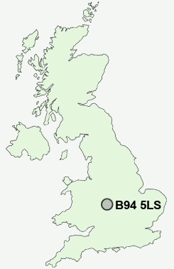
Postcode : B94 5LS, Earlswood, Warwickshire
Earlswood, Solihull, West Midlands.
B94 5LS close to Earlswood, Rumbush, Terry's Green, Salter Street and Waring's Green.
Classification
B94 5LS : Rural residents / Rural tenants / Rural white-collar workers
Local Authority Solihull
Primary Care Trust Solihull
Ward Blythe
Constituency Meriden
Region West Midlands
Country England
Postcode Area B : Birmingham
B94 Postcode Sectors
B94 5LS Nearby Postcode Districts
B11 B12 B13 B14 B15 B17 B25 B26 B27 B28 B29 B30 B31 B32 B38 B40 B45 B47 B48 B60 B61 B62 B63 B80 B90 B91 B92 B93 B94 B95 B97 B98 CV1 CV2 CV3 CV31 CV32 CV34 CV4 CV5 CV6 CV7 CV8 DY10 DY7 DY8 DY9
Stations near to B94 5LS
The Lakes Rail Station about 0.76 miles away.Earlswood (West Midlands) Rail Station about 1.01 miles away.
Wythall Rail Station about 1.39 miles away.
Whitlocks End Rail Station about 1.66 miles away.
Wood End Rail Station about 1.79 miles away.
Shirley Rail Station about 2.38 miles away.
Danzey Rail Station about 3.15 miles away.
Solihull Rail Station about 3.75 miles away.
B94 5LS Schools
Tidbury Green SchoolDickens Heath Community Primary School
Cheswick Green Primary School
UK Search
Antique Clocks
Browse Antique Clocks for sale from British antique dealers.