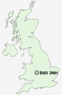
Postcode : B60 3NH, Charford, Worcestershire
Bromsgrove, Worcestershire.
B60 3NH close to Charford, Aston Fields, Stoney Hill, St Godwalds and Stoke Heath.
Classification
B60 3NH : Suburbanites / Semi-detached suburbia / White suburban communities
Local Authority Bromsgrove
Primary Care Trust Worcestershire
Ward Aston Fields
Constituency Bromsgrove
Region West Midlands
Country England
Postcode Area B : Birmingham
B60 Postcode Sectors
B60 4 Astwood, Foster's Green, Hanbury, Harbours Hill, Lower Bentley
B60 3 Charford, St Godwalds, Stoke Pound, Upper Gambolds
B60 3 Charford, St Godwalds, Stoke Pound, Upper Gambolds
B60 3NH Nearby Postcode Districts
B14 B31 B38 B45 B47 B48 B60 B61 B80 B90 B91 B93 B94 B95 B96 B97 B98 DY10 DY11 DY12 DY13 WR6 WR9
Stations near to B60 3NH
Bromsgrove Rail Station about 0.56 miles away.B60 3NH Schools
Charford First SchoolSouth Bromsgrove Community High School
Millfields First School
Aston Fields Middle School
Finstall First School
North Bromsgrove High School
Meadows First School
Parkside Middle School
Sidemoor First School and Nursery
Stoke Prior First School
UK Search
Antique Clocks
Browse Antique Clocks for sale from British antique dealers.