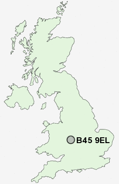
Postcode : B45 9EL, Eachway, Birmingham, Worcestershire
School Road, Rednal, Rubery.
B45 9EL close to Eachway and Rubery.
Classification
B45 9EL : Rural residents / Rural tenants / Rural life
Local Authority Bromsgrove
Primary Care Trust Worcestershire
Ward Rubery South
Constituency Bromsgrove
Region West Midlands
Country England
Postcode Area B : Birmingham
B45 Postcode Sectors
B45 9EL Nearby Postcode Districts
B1 B10 B11 B12 B13 B14 B15 B16 B17 B2 B25 B26 B27 B28 B29 B3 B30 B31 B32 B33 B37 B38 B4 B40 B45 B47 B48 B5 B60 B61 B62 B63 B64 B65 B67 B68 B8 B9 B90 B91 B92 B93 B94 B97 B98 DY10 DY11 DY12 DY13 DY5 DY7 DY8 DY9
Stations near to B45 9EL
Longbridge Rail Station about 2.12 miles away.Barnt Green Rail Station about 2.61 miles away.
B45 9EL Schools
Waseley Hills High School and Sixth Form CentreBeaconside Primary and Nursery School
Reaside Junior School
Balaam Wood School
Rednal Hill Junior School
Rednal Hill Infant School
Lickey Hills Primary School and Nursery
Forestdale Primary School
UK Search
Antique Clocks
Browse Antique Clocks for sale from British antique dealers.