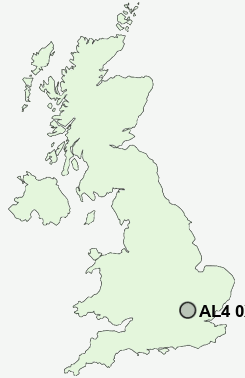
Postcode : AL4 0XB, Hertfordshire
St Albans, Hertfordshire, England.
Classification
AL4 0XB : Suburbanites / Suburban achievers / Indian tech achievers
Local Authority St Albans
Primary Care Trust Hertfordshire
Ward Ashley
Constituency St Albans
Region Eastern
Country England
Postcode Area AL : St Albans
AL4 Postcode Sectors
AL4 8 Amwell, Blackmore End, Coleman Green, Gustard Wood, Leasey Bridge
AL4 0 Bullen's Green, Colney Heath, Roestock, Sleapshyde, Smallford
AL4 0 Bullen's Green, Colney Heath, Roestock, Sleapshyde, Smallford
AL4 0XB Nearby Postcode Districts
AL1 AL10 AL2 AL3 AL4 AL5 AL6 AL7 AL8 AL9 CM19 EN10 EN11 EN2 EN3 EN6 EN7 EN8 EN9 HP1 HP2 HP23 HP3 HP4 HP5 HP6 HP7 SG10 SG12 SG13 SG14 WD17 WD2 WD24 WD25 WD4 WD5 WD6 WD7
Stations near to AL4 0XB
St Albans City Rail Station about 1.25 miles away.St Albans Abbey Rail Station about 1.99 miles away.
Park Street Rail Station about 2.7 miles away.
How Wood (Herts) Rail Station about 3.23 miles away.
AL4 0XB Schools
Beaumont SchoolVerulam School
Skyswood Primary & Nursery School
Windermere Primary School
Cunningham Hill Junior School
Cunningham Hill Infant School
Sandringham School
Wheatfields Infants' and Nursery School
Wheatfields Junior Mixed School
Maple Primary School
St Albans Girls' School
UK Search
Antique Clocks
Browse Antique Clocks for sale from British antique dealers.