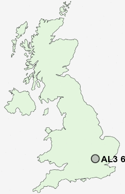
Postcode : AL3 6EL, New Greens, Hertfordshire
High Oaks, St Albans.
AL3 6EL close to New Greens, Townsend, Childwick Green, Bernards Heath and Childwick Bury.
Classification
AL3 6EL : Multicultural metropolitans / Rented family living / Social renting young families
Local Authority St Albans
Primary Care Trust Hertfordshire
Ward Batchwood
Constituency St Albans
Region Eastern
Country England
Postcode Area AL : St Albans
AL3 Postcode Sectors
AL3 5 Bernards Heath, Townsend
AL3 8 Cheverell's Green, Flamstead, Markyate, Roe End, Trowley Bottom
AL3 6 Childwick Bury, Childwick Green, Gorhambury, New Greens, Redbournbury
AL3 8 Cheverell's Green, Flamstead, Markyate, Roe End, Trowley Bottom
AL3 6 Childwick Bury, Childwick Green, Gorhambury, New Greens, Redbournbury
AL3 6EL Nearby Postcode Districts
AL1 AL10 AL2 AL3 AL4 AL5 AL6 AL7 AL8 AL9 EN10 EN11 EN6 EN7 EN8 EN9 HP1 HP16 HP2 HP23 HP3 HP4 HP5 HP6 SG12 SG13 SG14 SG3 WD25 WD4 WD5 WD7
Stations near to AL3 6EL
St Albans City Rail Station about 1.53 miles away.St Albans Abbey Rail Station about 1.81 miles away.
Harpenden Rail Station about 3.05 miles away.
Park Street Rail Station about 3.15 miles away.
AL3 6EL Schools
Margaret Wix Primary SchoolSt Albans Girls' School
Maple Primary School
Wheatfields Infants' and Nursery School
Wheatfields Junior Mixed School
Sandringham School
Verulam School
Skyswood Primary & Nursery School
Prae Wood Primary School
UK Search
Antique Clocks
Browse Antique Clocks for sale from British antique dealers.