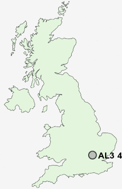
Postcode : AL3 4HZ, St Stephens, Hertfordshire
St Albans, Hertfordshire.
Classification
AL3 4HZ : Suburbanites / Suburban achievers / Detached retirement living
Local Authority St Albans
Primary Care Trust Hertfordshire
Ward Verulam
Constituency St Albans
Region Eastern
Country England
Postcode Area AL : St Albans
AL3 Postcode Sectors
AL3 5 Bernards Heath, Townsend
AL3 8 Cheverell's Green, Flamstead, Markyate, Roe End, Trowley Bottom
AL3 6 Childwick Bury, Childwick Green, Gorhambury, New Greens, Redbournbury
AL3 8 Cheverell's Green, Flamstead, Markyate, Roe End, Trowley Bottom
AL3 6 Childwick Bury, Childwick Green, Gorhambury, New Greens, Redbournbury
AL3 4HZ Nearby Postcode Districts
AL1 AL10 AL2 AL3 AL4 AL5 AL6 AL7 AL8 AL9 EN1 EN10 EN11 EN2 EN3 EN4 EN5 EN6 EN7 EN8 EN9 HP1 HP15 HP16 HP2 HP23 HP3 HP4 HP5 HP6 HP7 SG12 SG13 SG14 WD1 WD17 WD18 WD2 WD24 WD25 WD4 WD5 WD6 WD7
Stations near to AL3 4HZ
St Albans Abbey Rail Station about 0.71 miles away.St Albans City Rail Station about 1.4 miles away.
Park Street Rail Station about 1.61 miles away.
How Wood (Herts) Rail Station about 2.02 miles away.
Bricket Wood Rail Station about 2.77 miles away.
AL3 4HZ Schools
Prae Wood Primary SchoolMandeville Primary School
St Peter's School
Aboyne Lodge Junior Mixed and Infant School
Maple Primary School
Garden Fields Junior Mixed and Infant School
Bernards Heath Infant and Nursery School
How Wood Primary and Nursery School
Bernards Heath Junior School
Margaret Wix Primary School
UK Search
Antique Clocks
Browse Antique Clocks for sale from British antique dealers.