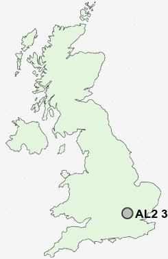
Postcode : AL2 3XA, Bricket Wood, Hertfordshire
Mount Pleasant Lane, Bricket Wood, St Albans.
AL2 3XA close to Bricket Wood and Smug Oak.
Classification
AL2 3XA : Suburbanites / Suburban achievers / Indian tech achievers
Local Authority St Albans
Primary Care Trust Hertfordshire
Ward St Stephen
Constituency St Albans
Region Eastern
Country England
Postcode Area AL : St Albans
AL2 Postcode Sectors
AL2 3XA Nearby Postcode Districts
AL1 AL10 AL2 AL3 AL4 AL7 AL8 AL9 E4 EN1 EN10 EN11 EN2 EN3 EN4 EN5 EN6 EN7 EN8 EN9 HA6 HA7 HA8 HP1 HP10 HP11 HP12 HP13 HP15 HP16 HP2 HP23 HP3 HP4 HP5 HP6 HP7 HP8 HP9 N11 N12 N13 N14 N18 N20 N21 N9 NW7 SG13 WD1 WD17 WD18 WD19 WD2 WD23 WD24 WD25 WD3 WD4 WD5 WD6 WD7
Stations near to AL2 3XA
Bricket Wood Rail Station about 0.86 miles away.Garston (Herts) Rail Station about 1.31 miles away.
How Wood (Herts) Rail Station about 1.7 miles away.
Watford North Rail Station about 2.11 miles away.
Park Street Rail Station about 2.16 miles away.
Watford Junction Rail Station about 2.97 miles away.
Watford Junction Rail Station about 3 miles away.
St Albans Abbey Rail Station about 3.13 miles away.
AL2 3XA Schools
Mount Pleasant Lane Junior Mixed and Infant School and NurseryCoates Way JMI and Nursery School
Francis Combe School and Community College
Alban Wood Primary School and Nursery
Berrygrove Primary and Nursery School
Leavesden JMI School
Kingsway Infants' School
Bedmond Village Primary and Nursery School
How Wood Primary and Nursery School
UK Search
Antique Clocks
Browse Antique Clocks for sale from British antique dealers.