Postcode : AL2 2PA, Park Street, Hertfordshire
Watling Street, Park Street, St Albans.
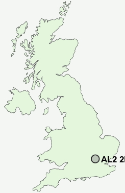
AL2 2PA close to Park Street, Frogmore, Chiswell Green and How Wood.
Classification
AL2 2PA : Urbanites / Urban professionals and families / Multi-ethnic professionals with families
Local Authority St Albans
Primary Care Trust Hertfordshire
Ward Park Street
Constituency St Albans
Region Eastern
Country England
Postcode Area AL : St Albans
AL2 Postcode Sectors
AL2 2PA Nearby Postcode Districts
AL1 AL10 AL2 AL3 AL4 AL5 AL7 AL8 AL9 EN1 EN10 EN11 EN2 EN3 EN4 EN5 EN6 EN7 EN8 EN9 HP1 HP13 HP15 HP16 HP2 HP23 HP3 HP4 HP5 HP6 HP7 HP8 N14 N20 N21 N9 SG12 SG13 SG14 WD1 WD17 WD18 WD19 WD2 WD23 WD24 WD25 WD3 WD4 WD5 WD6 WD7
Stations near to AL2 2PA
Park Street Rail StationHow Wood (Herts) Rail Station about 0.59 miles away.
St Albans Abbey Rail Station about 1.3 miles away.
Bricket Wood Rail Station about 1.61 miles away.
St Albans City Rail Station about 1.79 miles away.
Radlett Rail Station about 2.99 miles away.
Garston (Herts) Rail Station about 3.23 miles away.
AL2 2PA Schools
How Wood Primary and Nursery SchoolPrae Wood Primary School
Cunningham Hill Junior School
Cunningham Hill Infant School
Windermere Primary School
UK Search
Antique Clocks
Browse Antique Clocks for sale from British antique dealers.