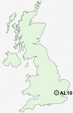
Postcode : AL10 8NW, Hatfield, Hertfordshire
Hatfield, Hertfordshire.
AL10 8NW close to Oxlease, Roe Green, Nast Hyde, South Hatfield and Birchwood.
Classification
AL10 8NW : Multicultural metropolitans / Rented family living / Private renting new arrivals
Local Authority Welwyn Hatfield
Primary Care Trust Hertfordshire
Ward Hatfield South West
Constituency Welwyn Hatfield
Region Eastern
Country England
Postcode Area AL : St Albans
AL10 Postcode Sectors
AL10 8NW Nearby Postcode Districts
AL1 AL10 AL2 AL3 AL4 AL5 AL6 AL7 AL8 AL9 CM16 CM17 CM18 CM19 CM20 CM21 EN10 EN11 EN2 EN3 EN6 EN7 EN8 EN9 HP1 HP2 HP3 HP4 HP5 HP6 HP7 SG10 SG12 SG13 SG14 WD17 WD2 WD24 WD25 WD4 WD5 WD6 WD7
Stations near to AL10 8NW
Hatfield (Herts) Rail Station about 0.63 miles away.Welham Green Rail Station about 1.49 miles away.
Brookmans Park Rail Station about 2.57 miles away.
Welwyn Garden City Rail Station about 3.2 miles away.
AL10 8NW Schools
Oak View Primary and Nursery SchoolBishop's Hatfield Girls' School
Onslow St Audrey's School
De Havilland Primary School
The Ryde School
Howe Dell Primary School
Green Lanes Primary School
UK Search
Antique Clocks
Browse Antique Clocks for sale from British antique dealers.