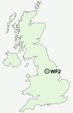
Postcode : WF2, Wakefield, West Yorkshire
Postcodes in the WF2 sector. Covering areas such as Woolgreaves, Brandy Carr, Lupset, Jaw Hill, Overtown, Alverthorpe, Carr Gate, Thornes, Milnthorpe, Beck Bottom, Pledwick, Kettlethorpe, Walton, Durkar and Wakefield in West Yorkshire.
Postcode Area WF : Wakefield
WF2 Postcode Sectors
WF2 0 Alverthorpe, Beck Bottom, Brandy Carr, Carr Gate, Jaw Hill
WF2 7 Durkar, Kettlethorpe, Milnthorpe, Portobello, Sandal
WF2 9 Flanshaw
WF2 7 Durkar, Kettlethorpe, Milnthorpe, Portobello, Sandal
WF2 9 Flanshaw
WF2 Nearby Postcode Districts
BD11 BD12 BD19 BD6 DN6 HD1 HD2 HD3 HD4 HD5 HD6 HD7 HD8 HD9 HX1 HX2 HX3 HX4 HX5 LS10 LS26 LS27 S71 S72 WF1 WF10 WF11 WF12 WF13 WF14 WF15 WF16 WF17 WF2 WF3 WF4 WF5 WF6 WF7 WF8 WF9
Stations near to WF2
Wakefield Westgate Rail Station about 0.72 miles away.Wakefield Kirkgate Rail Station about 1 miles away.
Sandal & Agbrigg Rail Station about 1.39 miles away.
Outwood Rail Station about 2.92 miles away.
WF2 Schools
Wakefield Snapethorpe Primary SchoolWakefield Sandal Magna Junior and Infants School
Wakefield Pinders Primary (JIN) School
Wakefield City High School - A Specialist Maths and Computing College
Kettlethorpe High School, A Specialist Maths and Computing College
UK Search
Antique Furniture
1000s of pieces of Antique Furniture for sale from British antique dealers.