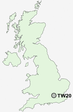
Postcode : TW20, Surrey
Postcodes in the TW20 sector. Covering areas such as Bishopsgate, Egham Hythe, Egham Wick, Thorpe Green, Thorpe, Egham, Thorpe Lea, Englefield Green, Cooper's Hill, Hythe and Surrey.
Postcode Area TW : Twickenham
TW20 Postcode Sectors
TW20 Nearby Postcode Districts
CR4 GU15 GU17 GU18 GU19 GU20 GU24 GU25 GU46 GU47 KT1 KT10 KT11 KT12 KT13 KT14 KT15 KT16 KT17 KT19 KT2 KT3 KT4 KT5 KT6 KT7 KT8 KT9 RG10 RG12 RG40 RG41 RG42 RG45 RG5 RG6 SL0 SL1 SL3 SL4 SL5 SL6 SM1 SM2 SM3 SM4 SM5 SW10 SW11 SW13 SW14 SW15 SW17 SW18 SW19 SW1X SW20 SW3 SW5 SW6 SW7 TW1 TW10 TW11 TW12 TW13 TW14 TW15 TW16 TW17 TW18 TW19 TW2 TW20 TW3 TW4 TW5 TW6 TW7 TW8 TW9 UB1 UB11 UB2 UB3 UB4 UB7 W10 W11 W12 W13 W14 W1H W1U W2 W3 W4 W5 W6 W7 W8 W9
Stations near to TW20
Egham Rail StationVirginia Water Rail Station about 1.82 miles away.
Staines Rail Station about 2.05 miles away.
Wraysbury Rail Station about 2.15 miles away.
Sunnymeads Rail Station about 3.02 miles away.
Chertsey Rail Station about 3.27 miles away.
Longcross Rail Station about 3.47 miles away.
TW20 Schools
Manorcroft Primary SchoolEnglefield Green Infant School and Nurseries
Thorpe Lea Primary School
The Magna Carta School
Hythe Primary School
Bishopsgate School
St John's Beaumont School
St Ann's Heath Junior School
UK Search
Antique Furniture
1000s of pieces of Antique Furniture for sale from British antique dealers.