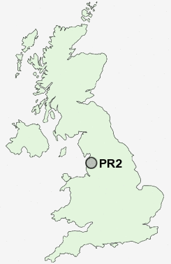
Postcode : PR2, Lancashire
Postcodes in the PR2 sector. Covering areas such as Ingol, Wade Hall, Haighton Top, Lea, Grange, Larches, Bretherton, Farington, Grimsargh, Cocker Bar, Ulnes Walton, Leyland, Wymott, Broadfield, Moss Side and Lancashire.
Postcode Area PR : Preston
PR2 Postcode Sectors
PR2 6 Brookfield, Grange, Ribbleton
PR2 3 Cadley, Ingol
PR2 5 Cow Hill, Grimsargh, Haighton Green, Haighton Top, Red Scar
PR2 8 Fulwood
PR2 3 Cadley, Ingol
PR2 5 Cow Hill, Grimsargh, Haighton Green, Haighton Top, Red Scar
PR2 8 Fulwood
PR2 Nearby Postcode Districts
BB1 BB2 BB3 BB5 BB6 BB7 FY1 FY2 FY3 FY4 FY5 FY6 FY8 PR1 PR2 PR25 PR26 PR3 PR4 PR5
Stations near to PR2
Preston Rail Station about 1.46 miles away.PR2 Schools
Queen's Drive Primary SchoolFulwood High School and Arts College
Moor Park High School and Sixth Form
Deepdale Junior School
Deepdale Community Primary School
Sherwood Primary School
Pool House Community Primary School
Ashton Community Science College
UK Search
Antique Furniture
1000s of pieces of Antique Furniture for sale from British antique dealers.