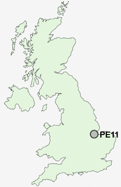
Postcode : PE11, Lincolnshire
Postcodes in the PE11 sector. Covering areas such as Little London, Donington, Crossgate, Quadring, Gosberton Cheal, Gosberton Clough, Pinchbeck, Northgate, Quadring Eaudike, Church End, Hop Pole, Surfleet, Northorpe, Pinchbeck West, Westhorpe and Lincolnshire.
Postcode Area PE : Peterborough
PE11 Postcode Sectors
PE11 4 Belnie, Church End, Donington, Donington South Ing, Gosberton
PE11 2 Clay Lake, Fulney, Spalding
PE11 2 Clay Lake, Fulney, Spalding
PE11 Nearby Postcode Districts
Stations near to PE11
Spalding Rail Station about 1.31 miles away.PE11 Schools
Spalding Primary SchoolSt Norbert's Catholic Primary School, Spalding
The Spalding Monkshouse Primary School
St Paul's Community Primary and Nursery School, Spalding
Spalding Grammar School
Gleed Boys' School
Ayscoughfee Hall School
The Spalding St John the Baptist Church of England Primary School
The Gleed Girls' Technology College
Spalding High School
UK Search
Antique Furniture
1000s of pieces of Antique Furniture for sale from British antique dealers.