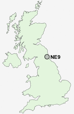
Postcode : NE9, Gateshead, Tyne And Wear
Postcodes in the NE9 sector. Covering areas such as Carr Hill, Beacon Lough, Deckham, Mount Pleasant, Eighton Banks, Lamesley, Harlow Green, Chowdene, Sheriff Hill, Low Fell, Low Eighton, Wrekenton, Springwell, Gateshead and Newcastle Upon Tyne in Tyne and Wear, Tyne And Wear.
Postcode Area NE : Newcastle
NE9 Postcode Sectors
NE9 7 Beacon Lough, Eighton Banks, Harlow Green, Low Eighton, Springwell
NE9 5 Carr Hill, Deckham, Mount Pleasant, Sheriff Hill
NE9 5 Carr Hill, Deckham, Mount Pleasant, Sheriff Hill
NE9 Nearby Postcode Districts
DH2 DH3 DH4 DH8 DH9 NE1 NE10 NE11 NE12 NE15 NE16 NE17 NE2 NE21 NE28 NE29 NE3 NE30 NE31 NE32 NE33 NE34 NE35 NE36 NE37 NE38 NE39 NE4 NE40 NE41 NE42 NE43 NE44 NE5 NE6 NE7 NE8 NE9 NE99 SR1 SR2 SR3 SR4 SR5 SR6 SR9
Stations near to NE9
Heworth Rail Station about 1.81 miles away.Newcastle Rail Station about 2.9 miles away.
Manors Rail Station about 3 miles away.
NE9 Schools
Glynwood Community Primary SchoolHarlow Green Community Primary School
Thomas Hepburn Community Comprehensive School
Falla Park Community Primary School
Springwell Village Primary School
Heworth Grange School
Brighton Avenue Primary School
UK Search
Antique Furniture
1000s of pieces of Antique Furniture for sale from British antique dealers.