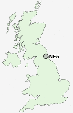
Postcode : NE5, Newcastle Upon Tyne, Tyne And Wear
Postcodes in the NE5 sector. Covering areas such as Kenton Bank Foot, Blakelaw, Black Callerton, Callerton Lane End, North Walbottle, Westerhope, West Denton, Newbiggin Hall Estate, Kenton Bar, East Denton, Callerton and Newcastle Upon Tyne in Tyne and Wear, Tyne And Wear.
Postcode Area NE : Newcastle
NE5 Postcode Sectors
NE5 1 Black Callerton, Callerton, Callerton Lane End, North Walbottle, West Denton
NE5 3 Blakelaw, Kenton Bar
NE5 2 East Denton
NE5 3 Blakelaw, Kenton Bar
NE5 2 East Denton
NE5 Nearby Postcode Districts
NE1 NE10 NE11 NE12 NE13 NE15 NE16 NE17 NE18 NE2 NE20 NE21 NE23 NE25 NE26 NE27 NE28 NE29 NE3 NE30 NE31 NE32 NE33 NE34 NE35 NE36 NE37 NE39 NE4 NE40 NE41 NE42 NE43 NE44 NE45 NE5 NE6 NE7 NE8 NE9 NE99 SR1 SR4 SR5 SR6 SR9
Stations near to NE5
Blaydon Rail Station about 2.32 miles away.Metrocentre Rail Station about 2.71 miles away.
Newcastle Airport Metro about 2.92 miles away.
Dunston Rail Station about 3.64 miles away.
NE5 Schools
Hilton Primary SchoolThomas Walling Primary School
Stocksfield Avenue Primary School
Kenton Bar Primary School
Broadwood Primary School
Kenton School
Mountfield Primary School
Bridgewater Primary School
Wingrove Primary School
UK Search
Antique Furniture
1000s of pieces of Antique Furniture for sale from British antique dealers.