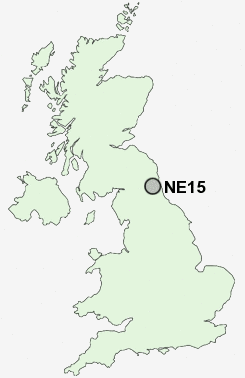
Postcode : NE15, Newcastle Upon Tyne, Tyne And Wear
Postcodes in the NE15 sector. Covering areas such as Harlow Hill, Benwell, Throckley, Bell's Close, Denton Burn, Heddon-on-the-Wall, Walbottle, Newburn, Horsley, Houghton, Scotswood, Bank Top and Newcastle Upon Tyne in Tyne and Wear, Northumberland, Tyne And Wear.
Postcode Area NE : Newcastle
NE15 Postcode Sectors
NE15 Nearby Postcode Districts
NE1 NE10 NE11 NE12 NE13 NE15 NE16 NE17 NE18 NE2 NE20 NE21 NE23 NE25 NE26 NE27 NE28 NE29 NE3 NE30 NE31 NE32 NE33 NE34 NE35 NE36 NE37 NE38 NE39 NE4 NE40 NE41 NE42 NE43 NE44 NE45 NE46 NE5 NE6 NE7 NE8 NE9 NE99 SR1 SR2 SR4 SR5 SR6 SR9
Stations near to NE15
Blaydon Rail Station about 1.29 miles away.NE15 Schools
Lemington Riverside Primary SchoolWest Denton Primary School
Knop Law Primary School
Newburn Manor Primary School
Walbottle Village Primary School
Milecastle Primary School
Broadwood Primary School
Walbottle Campus
Westerhope Primary School
Beech Hill Primary School
Crookhill Community Primary School
Throckley Primary School
UK Search
Antique Furniture
1000s of pieces of Antique Furniture for sale from British antique dealers.