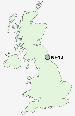
Postcode : NE13, Newcastle Upon Tyne, Tyne And Wear
Postcodes in the NE13 sector. Covering areas such as Seaton Burn, Hazlerigg, Woolsington, Dinnington, Brenkley, Wideopen, Brunswick Village and Newcastle Upon Tyne in Tyne and Wear, Tyne And Wear.
Postcode Area NE : Newcastle
NE13 Postcode Sectors
NE13 Nearby Postcode Districts
NE1 NE10 NE12 NE13 NE15 NE18 NE2 NE20 NE21 NE22 NE23 NE24 NE25 NE26 NE27 NE28 NE29 NE3 NE30 NE31 NE32 NE33 NE34 NE35 NE4 NE40 NE41 NE42 NE43 NE45 NE5 NE6 NE7 NE8 NE99
Stations near to NE13
Cramlington Rail Station about 3.42 miles away.NE13 Schools
Hazlewood Community Primary SchoolGreenfields Community Primary School
Dinnington First School
Seaton Burn College, A Specialist Business and Enterprise School
UK Search
Antique Furniture
1000s of pieces of Antique Furniture for sale from British antique dealers.