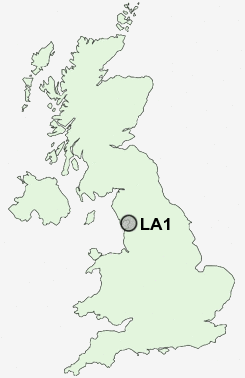
Postcode : LA1, Lancashire
Postcodes in the LA1 sector. Covering areas such as Penny Bridge, Bouth, Hollins, Lenacre, Loppergarth, Soutergate, North Scale, Barrow-In-Furness, Lowick, Kirkby-in-Furness, Lea Yeat, Cartmel Fell, Lindale, Canal Foot, Borwick Rails, Lancashire and Cumbria.
Postcode Area LA : Lancaster
LA1 Postcode Sectors
LA1 Nearby Postcode Districts
Stations near to LA1
Lancaster Rail Station about 0.39 miles away.Bare Lane Rail Station about 2.46 miles away.
LA1 Schools
Lancaster Dallas Road Community Primary SchoolBowerham Primary & Nursery School
Willow Lane Community Primary School
Ridge Community Primary School
Skerton Community High School
Skerton Community Primary School
Central Lancaster High School
Moorside Primary School
Lancaster Ryelands Primary School
Morecambe and Heysham Grosvenor Park Primary School
UK Search
Antique Jewellery
including Antique Engagement Rings for sale from UK Antique specialists.