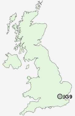
Postcode : IG9, Essex
Postcodes in the IG9 sector. Covering areas such as Buckhurst Hill and Essex.
Postcode Area IG : Ilford
IG9 Postcode Sectors
IG9 Nearby Postcode Districts
AL2 CM12 CM13 CM14 CM15 CM16 CM4 CM5 E10 E11 E12 E13 E15 E17 E18 E2 E3 E4 E5 E6 E7 E8 E9 EC1 EC1R EC1V EC1Y EC2A EN1 EN2 EN3 EN4 EN5 EN6 EN7 EN8 EN9 HA0 HA1 HA2 HA3 HA7 HA8 HA9 IG1 IG10 IG11 IG2 IG3 IG4 IG5 IG6 IG7 IG8 IG9 N1 N10 N11 N12 N13 N14 N15 N16 N17 N18 N19 N2 N20 N21 N22 N3 N4 N5 N6 N7 N8 N9 NW1 NW10 NW11 NW2 NW3 NW4 NW5 NW6 NW7 NW8 NW9 RM1 RM10 RM11 RM12 RM13 RM14 RM2 RM3 RM4 RM5 RM6 RM7 RM8 RM9 SS15 UB6 W9 WC1H WC1X WD6 WD7
Stations near to IG9
Chingford Rail Station about 1.47 miles away.Highams Park Rail Station about 2 miles away.
Wood Street Rail Station about 3.1 miles away.
IG9 Schools
Buckhurst Hill Community Primary SchoolThe White Bridge Junior School
White Bridge Primary School
Roding Valley High School
Churchfields Infants' School
Churchfields Junior School
The Alderton Junior School
The Alderton Infant School
UK Search
Antique Jewellery
including Antique Engagement Rings for sale from UK Antique specialists.