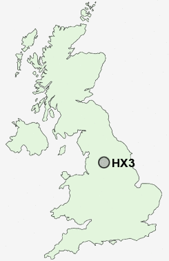
Postcode : HX3, Calderdale, West Yorkshire
Postcodes in the HX3 sector. Covering areas such as Stone Chair, Southowram, Wheatley, Holmfield, Priestley Green, Exley, Pepper Hill, Siddal, Coley, Shelf, Northowram, Savile Park, Boothtown, Bank Top, Hipperholme and Calderdale in West Yorkshire.
Postcode Area HX : Halifax
HX3 Postcode Sectors
HX3 9 Bank Top, Siddal, Southowram
HX3 5 Boothtown, Wheatley
HX3 7 Coley, Dam Head, Northowram, Pepper Hill, Shelf
HX3 5 Boothtown, Wheatley
HX3 7 Coley, Dam Head, Northowram, Pepper Hill, Shelf
HX3 0 Copley, Exley, Savile Park
HX3 8 Hipperholme, Norwood Green, Priestley Green
HX3 6 Holmfield, Pule Hill, Woodlands
HX3 8 Hipperholme, Norwood Green, Priestley Green
HX3 6 Holmfield, Pule Hill, Woodlands
HX3 Nearby Postcode Districts
BB10 BD1 BD11 BD12 BD13 BD14 BD15 BD19 BD2 BD3 BD4 BD5 BD6 BD7 BD8 BD9 HD1 HD2 HD3 HD4 HD5 HD6 HX1 HX2 HX3 HX4 HX5 HX6 HX7 LS1 LS10 LS11 LS12 LS13 LS15 LS2 LS26 LS27 LS28 LS3 LS4 LS5 LS6 LS7 LS8 LS9 OL12 OL13 OL14 OL15 WF1 WF12 WF13 WF14 WF15 WF16 WF17 WF2 WF3 WF4 WF5
Stations near to HX3
Halifax Rail Station about 0.52 miles away.HX3 Schools
Beech Hill Junior and Infant SchoolWithinfields Primary School
Northowram Primary School
Rawson Junior and Infant School
Salterhebble Junior and Infant School
Lee Mount Primary School
Parkinson Lane Community Primary School
Savile Park Primary School
UK Search
Antique Jewellery
including Antique Engagement Rings for sale from UK Antique specialists.