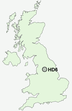
Postcode : HD6, Calderdale, West Yorkshire
Postcodes in the HD6 sector. Covering areas such as Rastrick, Birkhouse, Bailiff Bridge, Lower Wyke, Toothill, Thornhills, Lightcliffe, Hove Edge, Brighouse, Brookfoot, Clifton, Woodhouse, Cromwell Bottom and Calderdale in West Yorkshire.
Postcode Area HD : Huddersfield
HD6 Postcode Sectors
HD6 2 Bailiff Bridge, Brookfoot, Cromwell Bottom, Hove Edge
HD6 4 Birkhouse, Lightcliffe, Lower Wyke, Thornhills
HD6 4 Birkhouse, Lightcliffe, Lower Wyke, Thornhills
HD6 Nearby Postcode Districts
BD1 BD11 BD12 BD13 BD14 BD19 BD3 BD4 BD5 BD6 BD7 BD8 HD1 HD2 HD3 HD4 HD5 HD6 HD7 HX1 HX2 HX3 HX4 HX5 HX6 HX7 LS1 LS10 LS11 LS12 LS2 LS26 LS27 LS28 LS3 LS9 OL11 OL12 OL14 OL15 OL16 WF1 WF12 WF13 WF14 WF15 WF16 WF17 WF2 WF3 WF4 WF5 WF6
Stations near to HD6
Brighouse Rail Station about 0.28 miles away.Deighton Rail Station about 2.62 miles away.
HD6 Schools
Woodhouse Primary SchoolCastlefields Infant School
Carr Green Primary School
Field Lane Primary School
Cliffe Hill Community Primary School
Bailiffe Bridge Junior and Infant School
Old Earth Primary School
UK Search
Antique Jewellery
including Antique Engagement Rings for sale from UK Antique specialists.