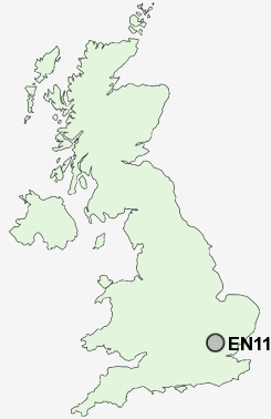
Postcode : EN11, Hertfordshire
Postcodes in the EN11 sector. Covering areas such as Hoddesdon, Woollensbrook, Goose Green, Hailey, Rye Park, Spitalbrook and Hertfordshire.
Postcode Area EN : Enfield
EN11 Postcode Sectors
EN11 Nearby Postcode Districts
AL1 AL10 AL2 AL3 AL4 AL5 AL6 AL7 AL8 AL9 CM16 CM17 CM18 CM19 CM20 CM21 CM22 CM4 CM5 EN10 EN11 EN6 EN7 EN8 EN9 SG10 SG12 SG13 SG14 SG3 WD2 WD24 WD25 WD7
Stations near to EN11
Rye House Rail Station about 0.62 miles away.Broxbourne Rail Station about 1.26 miles away.
St Margarets (Herts) Rail Station about 1.62 miles away.
Roydon Rail Station about 1.99 miles away.
Ware Rail Station about 3.11 miles away.
EN11 Schools
Westfield Community Primary SchoolForres Primary School
The John Warner School
The Cranbourne Primary School
Roselands Primary School
Sheredes School
Sheredes Primary School
The Broxbourne School
UK Search
Antique Jewellery
including Antique Engagement Rings for sale from UK Antique specialists.