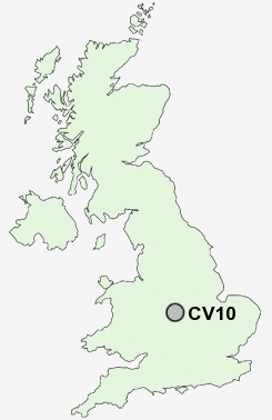
Postcode : CV10, Warwickshire, Midlands
Postcodes in the CV10 sector. Covering areas such as Hartshill, Church End, Bermuda, Hartshill Green, Chilvers Coton, Ansley, Weddington, Ridge Lane, Oldbury, Galley Common, Plough Hill, Camp Hill, Caldecote, Astley, Howe Green and Warwickshire in Midlands.
Postcode Area CV : Coventry
CV10 Postcode Sectors
CV10 9 Ansley, Camp Hill, Church End, Galley Common, Plough Hill
CV10 0 Ansley Common, Birchley Heath, Caldecote, Chapel End, Hartshill
CV10 0 Ansley Common, Birchley Heath, Caldecote, Chapel End, Hartshill
CV10 Nearby Postcode Districts
B10 B11 B12 B13 B2 B23 B24 B25 B26 B27 B28 B33 B34 B35 B36 B37 B4 B40 B44 B46 B5 B6 B7 B72 B73 B74 B75 B76 B77 B78 B8 B9 B92 CV10 CV11 CV12 CV13 CV6 CV7 CV9 LE10 LE17 LE18 LE2 LE9
Stations near to CV10
Nuneaton Rail Station about 1.52 miles away.Bedworth Rail Station about 3.44 miles away.
CV10 Schools
Croft Junior SchoolStockingford Junior School
Stockingford Primary School
Manor Park Community School
Alderman Smith School
Glendale Infant School
Nathaniel Newton Infant School
Chilvers Coton Community Infant School
Galley Common Infant School
Park Lane Primary School Nursery and Parents' Centre
Michael Drayton Junior School
Wembrook Primary School
UK Search
Antique Clocks
Browse Antique Clocks for sale from British antique dealers.