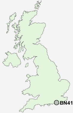
Postcode : BN41, Brighton And Hove, Brighton And Hove
Postcodes in the BN41 sector. Covering areas such as Fishersgate, Southern Cross, Portslade-By-Sea, Portslade Village, Mile Oak and Brighton and Hove in West Sussex, East Sussex, Brighton And Hove.
Postcode Area BN : Brighton
BN41 Postcode Sectors
BN41 Nearby Postcode Districts
BN1 BN10 BN11 BN12 BN13 BN14 BN15 BN16 BN17 BN18 BN2 BN25 BN3 BN41 BN42 BN43 BN44 BN45 BN5 BN6 BN7 BN8 BN9 RH20
Stations near to BN41
Fishersgate Rail Station about 0.44 miles away.Portslade Rail Station about 0.52 miles away.
Southwick Rail Station about 1.05 miles away.
Aldrington Rail Station about 1.38 miles away.
Hove Rail Station about 1.96 miles away.
BN41 Schools
Peter Gladwin Primary SchoolPortslade Community College
Hangleton Primary School
Goldstone Primary School
West Hove Infant School
Mile Oak Primary School
Glebe Primary School
Holmbush First School
West Blatchington Primary and Nursery School
King's Manor Community College
Blatchington Mill School and Sixth Form College
Hove Park School and Sixth Form Centre
UK Search
Antique Clocks
Browse Antique Clocks for sale from British antique dealers.