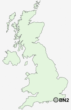
Postcode : BN2, Brighton And Hove, Brighton And Hove
Postcodes in the BN2 sector. Covering areas such as Moulsecomb, Burgh Hill, Pevensey Bay, Langney, Whitehawk, Seaford, Jevington, Lower Willingdon, East Blatchington, Hellingly, Wilmington, Black Rock, Stunts Green, Woodingdean, Alciston, East Sussex and Brighton and Hove in Brighton And Hove.
Postcode Area BN : Brighton
BN2 Postcode Sectors
BN2 4 Bevendean, East Moulsecoomb, Moulsecomb, North Moulsecoomb
BN2 5 Black Rock, Roedean, Whitehawk
BN2 1 Kemp Town
BN2 5 Black Rock, Roedean, Whitehawk
BN2 1 Kemp Town
BN2 Nearby Postcode Districts
BN1 BN10 BN11 BN12 BN13 BN14 BN15 BN16 BN2 BN20 BN21 BN22 BN25 BN26 BN27 BN3 BN41 BN42 BN43 BN44 BN45 BN7 BN8 BN9
Stations near to BN2
London Road (Brighton) Rail Station about 1.7 miles away.Brighton Rail Station about 1.71 miles away.
Moulsecoomb Rail Station about 1.71 miles away.
Falmer Rail Station about 2.72 miles away.
BN2 Schools
St Luke's Infant SchoolSt Luke's Primary School
Elm Grove Primary School
Queen's Park Primary School
Fairlight Primary School
Bevendean Primary School
Carlton Hill Primary School
Woodingdean Primary School
Longhill High School
Rudyard Kipling Primary School & Nursery
UK Search
Antique Clocks
Browse Antique Clocks for sale from British antique dealers.