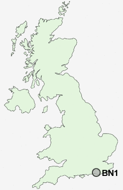
Postcode : BN1, Brighton And Hove, Brighton And Hove
Postcodes in the BN1 sector. Covering areas such as Hangleton, Patcham, East Preston, East Kingston, Hammerpot, Nepcote, Broadwater, Burndell, Cote, Walberton, Lyminster, Rustington, Findon, Amberley, Peacehaven, West Sussex, Brighton and Hove and East Sussex in Brighton And Hove.
Postcode Area BN : Brighton
BN1 Postcode Sectors
BN1 Nearby Postcode Districts
BN1 BN10 BN11 BN12 BN13 BN14 BN15 BN16 BN17 BN2 BN20 BN25 BN26 BN3 BN41 BN42 BN43 BN44 BN45 BN5 BN6 BN7 BN8 BN9 RH20
Stations near to BN1
London Road (Brighton) Rail StationBrighton Rail Station about 0.71 miles away.
Preston Park Rail Station about 0.89 miles away.
Moulsecoomb Rail Station about 0.99 miles away.
Hove Rail Station about 1.45 miles away.
Aldrington Rail Station about 2.01 miles away.
BN1 Schools
Fairlight Primary SchoolDorothy Stringer School
Varndean School
Elm Grove Primary School
Brunswick Primary School
St Luke's Primary School
St Luke's Infant School
Queen's Park Primary School
Patcham Infant School
Patcham High School
Bevendean Primary School
Patcham Junior School
UK Search
Antique Clocks
Browse Antique Clocks for sale from British antique dealers.