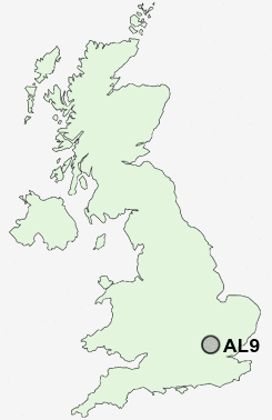
Postcode : AL9, Hertfordshire
Postcodes in the AL9 sector. Covering areas such as Brookmans Park, Bell Bar, Woodside, Welham Green, Water End, Wildhill, Mill Green, Essendon, The Ryde, West End, Old Hatfield, Lower Woodside, Marshmoor and Hertfordshire.
Postcode Area AL : St Albans
AL9 Postcode Sectors
AL9 6 Bell Bar, Essendon, Lower Woodside, West End, Wildhill
AL9 7 Brookmans Park, Water End, Welham Green
AL9 7 Brookmans Park, Water End, Welham Green
AL9 Nearby Postcode Districts
AL1 AL10 AL2 AL3 AL4 AL5 AL6 AL7 AL8 AL9 CM16 CM17 CM18 CM19 CM20 CM21 EN1 EN10 EN11 EN2 EN3 EN4 EN5 EN6 EN7 EN8 EN9 HP1 HP2 HP3 HP4 HP6 IG10 SG10 SG12 SG13 SG14 WD1 WD17 WD18 WD2 WD23 WD24 WD25 WD3 WD4 WD5 WD6 WD7
Stations near to AL9
Welham Green Rail Station about 0.78 miles away.Hatfield (Herts) Rail Station about 1.48 miles away.
Brookmans Park Rail Station about 1.67 miles away.
Potters Bar Rail Station about 3.32 miles away.
AL9 Schools
De Havilland Primary SchoolOak View Primary and Nursery School
Chancellor's School
Onslow St Audrey's School
Brookmans Park Primary School
Bishop's Hatfield Girls' School
UK Search
Antique Clocks
Browse Antique Clocks for sale from British antique dealers.